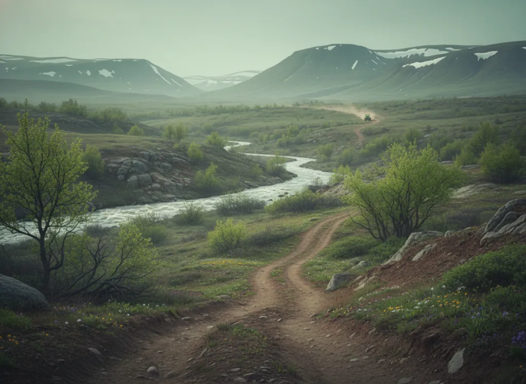
Crystal Springs OHV Area is a Forest Service-designated off-highway vehicle trail system in the Ouachita National Forest's Jessieville Ranger District, located in Garland County in central Arkansas approximately 15 miles north of Hot Springs: positioning it to serve the greater Hot Springs, Little Rock, and Conway OHV markets with the only Forest Service OHV system on the eastern fringe of the Ouachita Mountains. The area is distinct from the Wolf Pen Gap system in Polk County (which lies 90 miles to the west in the higher, more rugged western Ouachitas), Crystal Springs sits in the lower, more accessible eastern transition zone where the Ouachita Mountains grade into the Arkansas River Valley and the plateau country surrounding the state's resort and recreational center. The trail network threads through Garland County's shortleaf pine and mixed-hardwood forest on the rolling terrain of the eastern Ouachitas, with Fourche Mountain and Hickory Nut Mountain providing the ridge terrain that gives the system its hill-climbing character. The eastern Ouachita landscape is classic Ozark-Ouachita transition: shortleaf pine woodland on the drier ridge crests, mixed oak-hickory-pine forest on the mid-slopes, and the galley forest of sycamore, cottonwood, and bottomland hardwoods in the creek drainages. Crystal Springs is the closest public-land OHV system to the massive Hot Springs resort market, riders combining OHV with a Bathhouse Row visit or a day at Oaklawn Racing can access Forest Service trails without the long drive to Wolf Pen Gap. ATVs, UTVs, and off-highway motorcycles on designated routes. Jessieville Ranger District (501-984-5313) manages current conditions.
Hours
Open year-round on designated OHV routes. No day-use fee on National Forest land. Trails may temporarily close during wet conditions.
Phone
501-984-5313Trip openings, seasonal updates, and the occasional deal, straight to your inbox.
FAQ
Everything you need to know before you get started.
Have a question, or ready to book? Reach out and we’ll get right back to you.